Hiking Kaldbakur Mountain in the Westfjords, Westfjords


Overview
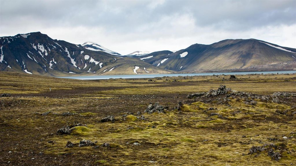
Not to be mistaken with the country's other Kaldbakur Moutain in Northern Iceland, the one in the Westfjords takes you up the Kirkjubolsdalur Valley and on a rough jeep trail. Then, you'll hike along the shoulder of Kaldbakur, a part of the trail that reveals astonishing views over the town of Ísafjörður and the entire Westfjords peninsula. At the top, you'll find a large cairn built by the Danish mapmakers in 1914.
Like what you see?
Chat with our local specialists and let us help you customize your trip with experiences like this.
Get startedLike what you see?
Chat with our local specialists and let us help you customize your trip with experiences like this.
Get startedWestfjords Experiences
Show more Westfjords experiences
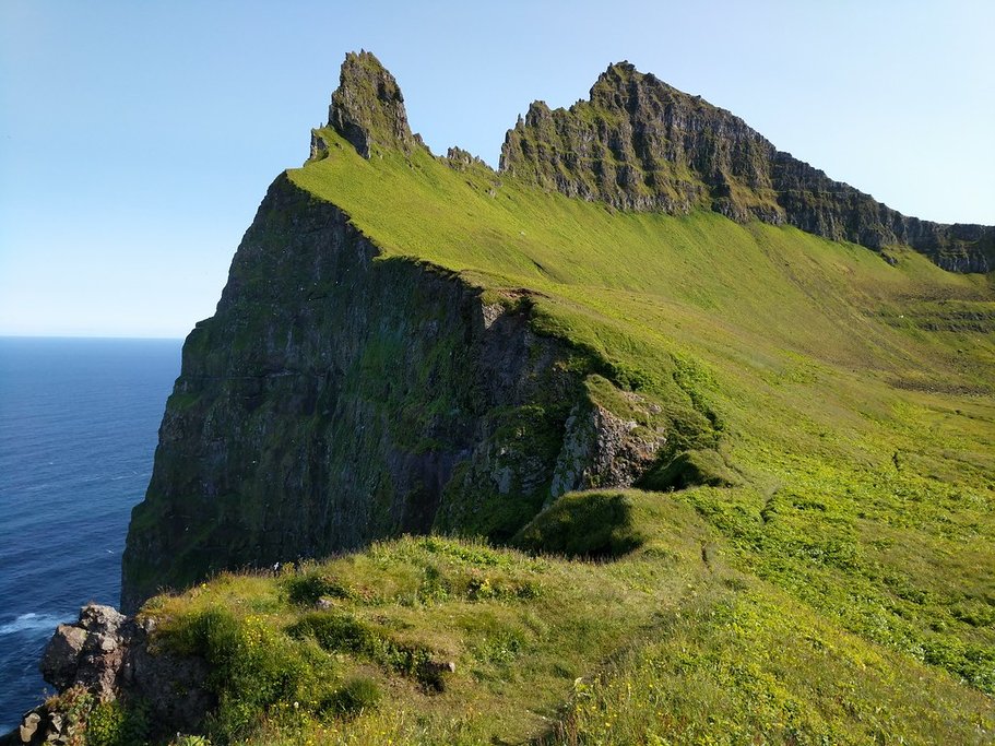
Birdwatching & Hiking the Látrabjarg Cliffs
Látrabjarg is one of the largest bird cliffs in Iceland, located at the westernmost point of Europe in the Westfjords region of Iceland. The cliffs stretch up to nearly 1,500...

Hiking in Hornstrandir Nature Reserve in the Westfjords
Hornstrandir Nature Reserve sits at the tip of Iceland's Westfjords region and offers a blend of picturesque scenery and fascinating history. A hike in the area passes by...

Icelandic Sea Monster Museum in the Westfjords
If you like folklore, Iceland has plenty to go around! Tales of sea monsters have played a vivid role in Icelandic folk culture for centuries, and experts have found thousands...
Iceland Experiences
Show more Iceland experiences
Puffin Tour Snæfellsnes Peninsula
Just off the coast of the Snæfellsnes Peninsula near the town of Grundarfjörður is the small island of Melrakkaey, complete with towering sea cliffs of basalt columns. These...

Seljalandsfoss Waterfall
Standing at 200 feet (60 m) is the Seljalandsfoss Waterfall, one of Iceland's most famous and visited cascades. Just off the Ring Road, you can see Seljalandsfoss in less than...

Hike Geldingadalir Volcano
Hiking on an active volcano is one of those once-in-a-lifetime experiences that attract many travelers to Iceland's Geldingadalir Volcano. Set just south of the capital on the...

Thórsmörk Super Jeep Experience
Perfect for adventure seekers and nature lovers, this full-day excursion takes you deep into the dramatic landscapes of Þórsmörk (Thórsmörk) with the help of an expert guide and...

Canyons & Glaciers near Vík
Along the southern portion of Iceland's famed Ring Road is the humble coastal town of Vík, an excellent starting point for exploring some of the country's canyons and glaciers....
Best of the Westfjords
Best of the Westfjords

Best Sights of the Westfjords: 2-4 day Driving Tour
Escape the crowds of the south to experience Iceland’s most dramatic landscapes, where tiny fishing villages sit along calm fjords below towering flat mountain tops.

Six Great Day-Hikes in the Westfjords
Home to a rugged landscape and trails for every type of hiker, the Westfjords region provides a perfect backdrop for exploring Iceland on foot. Marvel at geysers, have a picnic...
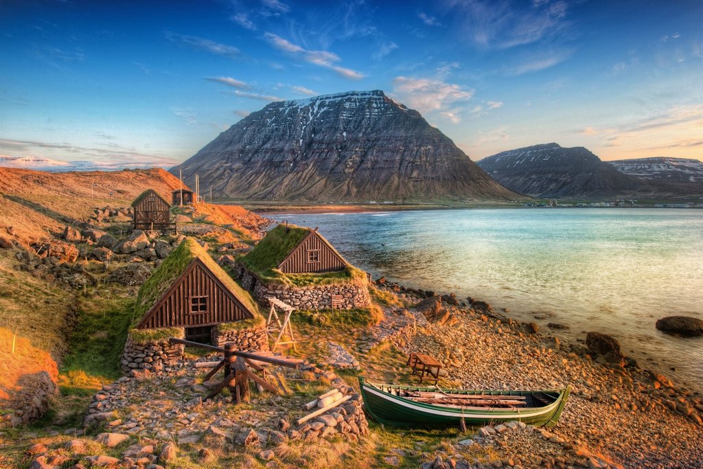
What to Do in Ísafjörður and Beyond
Ísafjörður (Isafjordur) is the largest town in Iceland's beautiful Westfjords, making it a perfect jumping off point for day trips around the region. The town itself, surrounded...

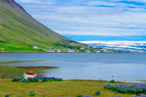
Kayaking around Isafjordur, heart of the Westfjords
Paddle through majestic fjords below towering mountains as you spot seals, whales, and birds along the way. Here are a few kayaking options ranging from a couple hours up to a...


Guide to Hornstrandir Nature Reserve - Remote Wilderness in Northwest Iceland
The Hornstrandir Nature Reserve is a remote wilderness in the northwest claw of Iceland’s West Fjords. A wild gem of green slopes, snow-capped glacier peninsulas, and slate-blue...
Trip Planning Essentials

How kimkim Trips Works in Iceland
Travelers love Iceland for its wild landscapes, Reykjavík's cultural charms, and the seasonal magic of the northern lights. Work with a kimkim travel specialist to experience it...


Ultimate Iceland Itineraries: 5, 7, 10 & 14 Days
When it comes to planning the perfect Iceland itinerary, we have you covered. Our researchers scouted the island, our Iceland experts chipped in, and then we asked travelers...

Iceland Travel Agents
Kimkim has selected the best Iceland travel agents so you'll have a worry-free trip