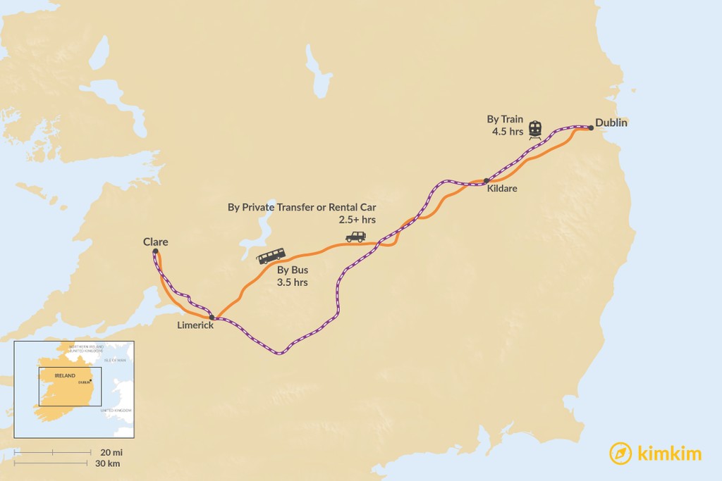
The distance from Dublin to County Clare is about 147 miles (237 km). The most comfortable way to get from one to the other is by private transfer or rental car as it's a 2.5-hour drive. There is no flight service between the two counties, but train and bus trips are also available.
If you are still in the planning stages of your trip, this Self-Drive Itinerary is a great resource that includes both your starting point and destination. The most authentic pint of Guinness in Dublin and the stunning Cliffs of Moher in County Clare are covered. To fully immerse yourself in County Clare's natural beauty, take a look at the Hiking Itinerary for inspiration.
By Private Transfer or Rental Car
Duration: 2.5 hours, more with stops
Private drivers are easily found in Dublin but you can also rent your own car. Beware of narrow country roads and passing sheep—a smaller rental car is your best bet.
Getting from Dublin to County Clare takes about a little more than 2.5 hours along highways N7, M6, N18, and M18. The coast to coast route from Dublin to County Clare is very scenic, as you will be driving through verdant green countryside and farmland. Consider a stop in Kildare to take in the view from the 13th century Cathedral Church of St. Brigid. The Curragh is another stop to think about as it's Ireland's premier international horse racing venue.
Once you're ready to get back on the road, take N18 to continue to your destination.
By Bus
Duration: 3.5 hours
The bus company is called Dublin Coach and has hourly departures. The trip will take 3.5 hours.
By Train
Duration: 4.5 hours
While a train ride might be a nice way to take in the views without having to drive yourself, it does take 4.5 hours and there are two transfers. Run by Irish Rail, it departs every few hours and it's recommended to buy your tickets ahead of time.


