How to Get from Marrakesh to Imlil

We recommend travelers looking to get from Marrakesh to the small village of Imlil in the Atlas mountains budget two to three hours for site-seeing stops along this winding scenic route.
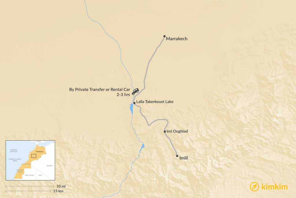
Since there is no direct bus route, the best and fastest travel option is hiring a private driver, which will allow you to focus on the scenery along the 56-mile (90 km) journey and stop whenever you'd like along the way, but you can rent a car if you're comfortable navigating mountain roads. Along the road to Imlil, you'll drive along a winding river, spot many Berber villages, and catch surprising vistas as you round the highway's tight corners.
If you're looking to summit Toubkal—the highest peak in North Africa—while in the Imlil Valley, plan for a 2- or 3-day trek and consider using this detailed itinerary.
By Private Transfer or Rental Car
Duration: 2-3 hours
You'll first head out of Marrakesh on Highway R2009. Summer travelers looking for a break from the heat may want to stop for a dip in Lalla Takerkoust Lake, which can be found about 30 minutes into the drive on this stretch of road. The French created the lovely artificial lake during the late 1920s, and the dam now provides electricity to Marrakesh. There are several small beaches to walk on, and those interested in a longer stop can also find water sports on offer, along with several small restaurants, spas, and hotels.
Almost two hours into your drive and past the lake, you'll take P2024, and on this stretch of highway, you'll find the exit for the town of Imi Oughlad, which has excellent views of Toubkal and makes for a great place to take photographs.
Continue down the main highway for just 15 minutes more until you reach P2005, which takes you to the larger outpost of Imlil.
