How to Get from Wellington to Napier

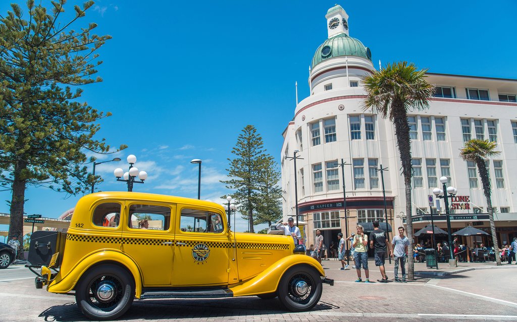
The attractive city of Napier is located in the Hawke's Bay, on the eastern coast of New Zealand's North Island. It's quite an isolated city, but it's easy enough to reach from Wellington, which is 200 miles (320 kms) away.
By Air
Duration: 1 hour
Three direct flights per day travel between Wellington and Napier. They take just an hour, so are the quickest way of reaching Napier from the capital. Wellington is a notoriously windy city, so flights can be quite turbulent leaving Wellington. This isn't a cause for alarm.
By Car
Duration: 4.5 hours
There are a few ways of getting from Wellington to Napier by road, but the most direct travels north out of Wellington on State Highway 1 to Levin, along the Kapiti Coast and to the west of the Tararua Forest Park. Then, continue north-east, skirting the Ruahine Forest Park to the east. Longer routes can be taken to the east of the Tararuas, or to the west of the Ruahine Forest. These add another hour or two to the journey, and are only really worthwhile if you plan to stop and do some hiking in the forested mountain parks. If taking the most direct route, the drive along the Kapiti Coast is attractive, but once you turn inland, there aren't many reasons to stop on the way to Napier. Many travelers prefer to make this drive in one go.
By Bus
Duration: 5.5 hours
A couple of direct buses travel between Wellington and Napier every day. These go via Levin and Palmerston North. They're reasonably comfortable as they stop for toilet and meal breaks, and you can relax without having to worry about driving. There's no real reason to stop in Levin or Palmerston North, so so this journey can be made in one go.
Map
