
Christchurch is about halfway down the eastern coast of New Zealand's South Island, while Queenstown is in the south-west. About 300 miles (480 km) and some rather big mountains separate Christchurch and Queenstown, but it's easy to travel between them by air or road.
By Air
Duration: 1 hour
Several direct flights per day travel between Christchurch and Queenstown. This is the quickest and easiest way to travel. As the flight crosses the Southern Alps mountain range, you can expect some beautiful views as you get nearer to Queenstown.
By Car
Duration: 6+ hours
If you want to travel directly, the overland journey between Christchurch and Queenstown takes around six hours. Because there are many points of attraction along the way, some travelers like to spend a few days making this journey.
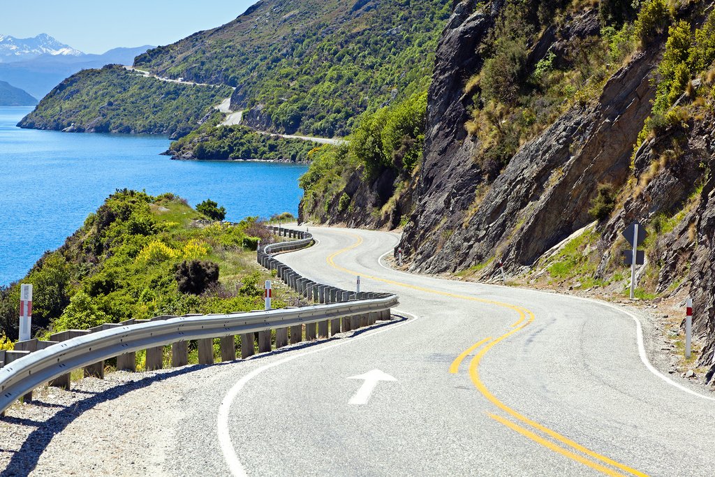
From Christchurch, head southwest out of town on State Highway (SH) 76, then turn onto SH 1. Continue on this road through the Canterbury Plains until just before Geraldine, and follow the signs to Geraldine. The road becomes more winding as you head west toward Aoraki / Mount Cook, although the more challenging mountain roads appear more when traveling over to the West Coast. The road between Christchurch and Queenstown is relatively straightforward.
Roughly halfway between Christchurch and Queenstown are Tekapo and Twizel. These are good places to stop for a couple of days (or longer) to explore the Mount Cook area.
By Bus
Duration: 8-9 hours
The same route as above can be taken by bus, although the journey takes longer. Buses leave Christchurch in the morning. They're quite comfortable, make scheduled toilet and meal stops, and you can enjoy the views without having to worry about driving.
Map
