How to Get from Cape Town to Kruger National Park
The best way to travel the 1155 miles (1859 km) between Cape Town and Kruger National Park is by plane. A direct flight takes just two and a half hours—although travelers may... read more
The best way to travel the 1155 miles (1859 km) between Cape Town and Kruger National Park is by plane. A direct flight takes just two and a half hours—although travelers may... read more
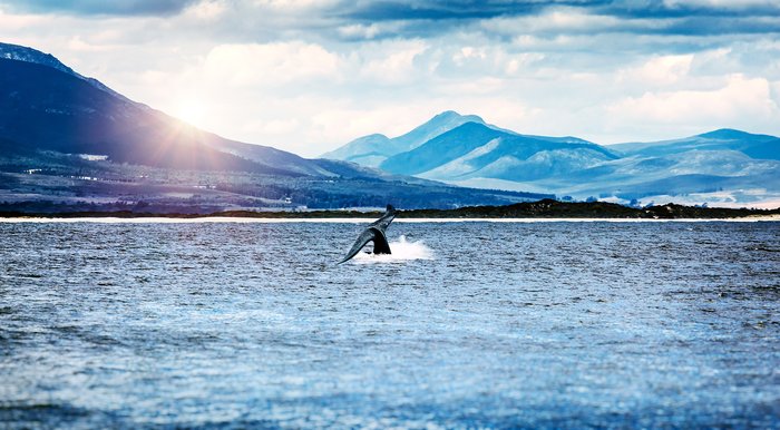
Hermanus, a seaside town famous for whale-watching, is a 76 mile (122 km) drive from Cape Town. While this is a short distance, there are limited public transport options... read more
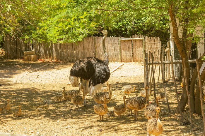
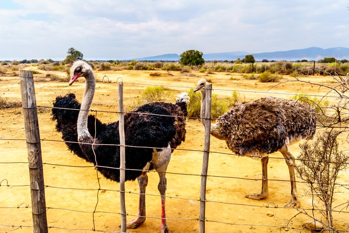
The distance between Cape Town in the Western Cape to the Klein Karoo—where the capital town of Oudtshoorn is located—is 261 miles (420 km). Made famous in the late 19th and... read more
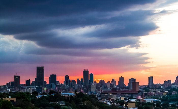
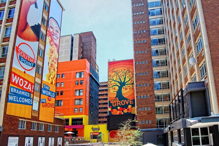
Traveling the 870 miles (1,400 km) between Cape Town and Johannesburg can take anything from a mere two hours by plane to two days by car, if you go straight there—but there's... read more
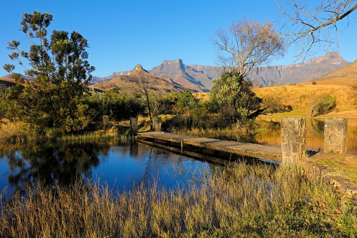
The quickest way to get between Johannesburg and the Drakensberg is by plane and car. This takes between two and three hours. Those who opt to fly can book a ticket to... read more
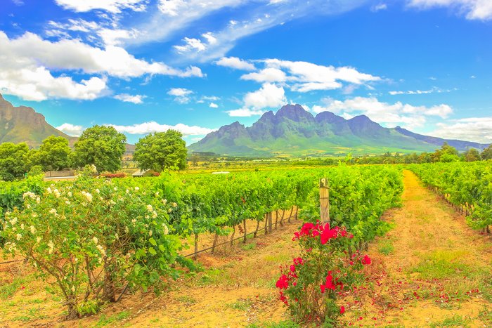
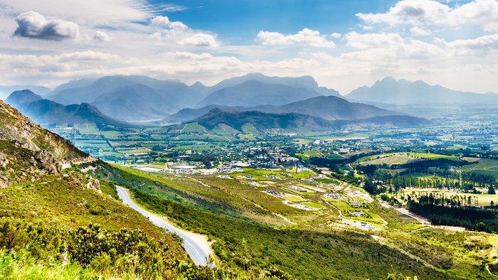
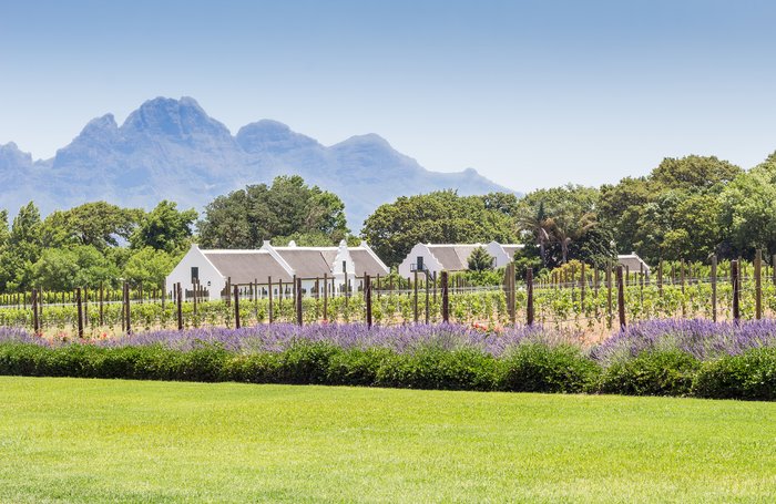
Stellenbosch, a town famous for its surrounding wine vineyards, is a 31-mile (50 km) drive from Cape Town. The quickest and best-recommended travel option is by car, with either... read more
Traveling from Johannesburg to Kruger National Park can take anything between one hour by plane and 10 hours by bus. The travel distance also depends on which part of the game... read more
The travel time from Johannesburg to the Eastern Cape, South Africa’s third-biggest province, is largely dependent on where you are going and your travel method. A flight to... read more
Limpopo’s capital city, Polokwane, is 197 miles (317 km) from Johannesburg. A number of different travel options are available. The quickest and most efficient method of... read more
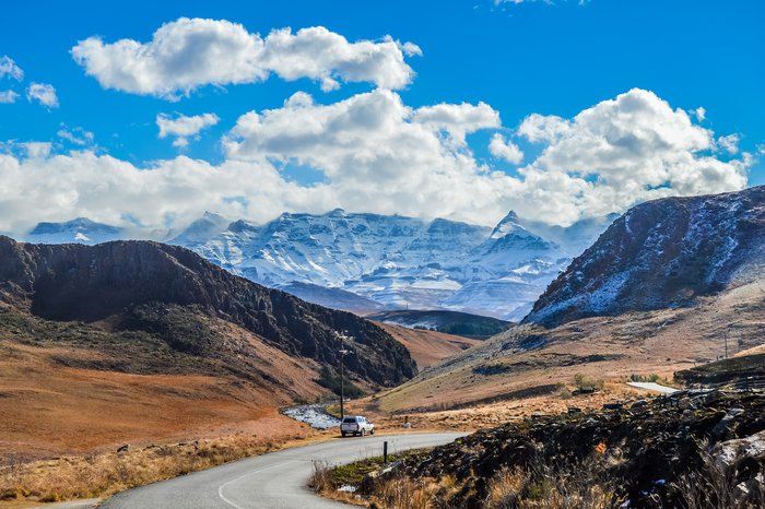
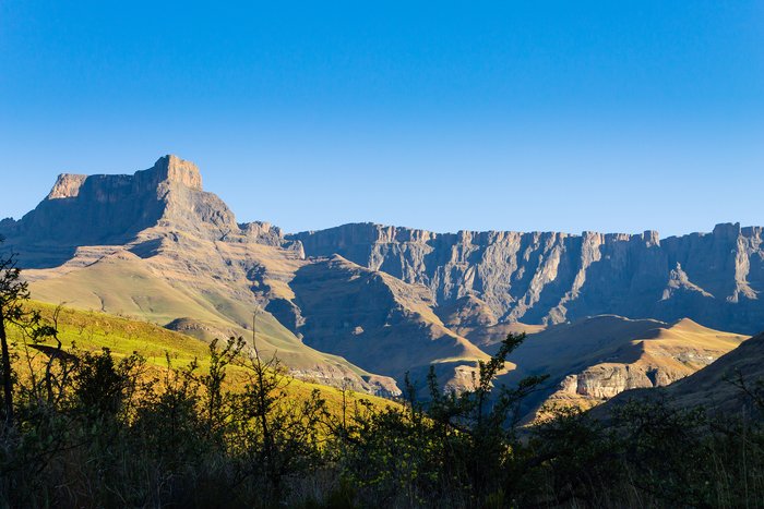
The quickest way to travel the 900 miles (1448 km) between Cape Town and the Drakensberg is by plane and car. This takes approximately four hours. There is also the option to... read more
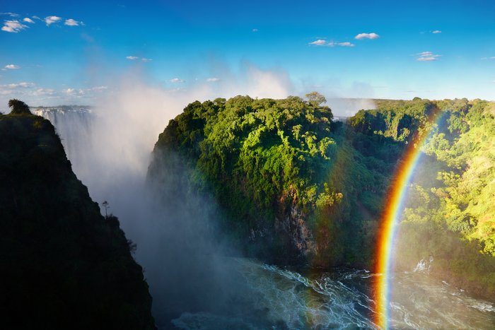
Cape Town and Victoria Falls are separated by a considerable distance—more than 1,600 miles (2,600 km)—and traveling between them can require multiple modes of transportation.... read more
The best way to travel the 139 miles (223 km) between Cape Agulhas and Cape Town is by car. The drive takes around two and a half hours without stops, although there’s lots to... read more
Your best option, when traveling between Johannesburg and the Garden Route, is by plane. A direct flight to George is only two hours and travelers have the option of renting a... read more
Stellenbosch is only 23 miles (37 km) from Franschhoek, and the only way to travel the short distance between these towns is by car. You can choose between self-driving a rental... read more
The only way to travel the 109 miles (176 km) between Cape Town and Cederberg is by car. A private transfer is ideal for travelers who hope to go wine tasting along the way. Car... read more
Traveling between Cape Town and the Eastern Cape can take anything from one hour by plane to two days by car. The distance also depends on where about in the Eastern Cape, which... read more
Hazyview, a sub-tropical town in Mpumalanga, is 261 miles from Johannesburg. Getting between these two destinations can be time-consuming and may require multiple modes of... read more
Traveling between Johannesburg and Mpumalanga, one of South Africa’s smallest provinces, can take anything between a 45-minute flight and 10 hours by train. There are a range of... read more
Hoedspruit, a small town situated at the foot of the Klein Drakensberg, is a 279-mile (449 km) drive from Johannesburg. Depending on your preferred method of transport, getting... read more
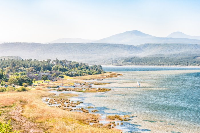
Getting between Cape Town and the Garden Route can take just 50 minutes by plane or up to seven hours by bus. Those who opt to fly can arrange a private transfer or rental car... read more
Franschhoek, one of South Africa’s oldest towns, is only a 54 mile (87 km) drive from Cape Town. Travelers can rent a car or hire a private transfer to get there. It’s also... read more
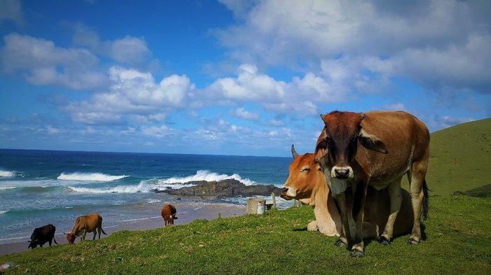
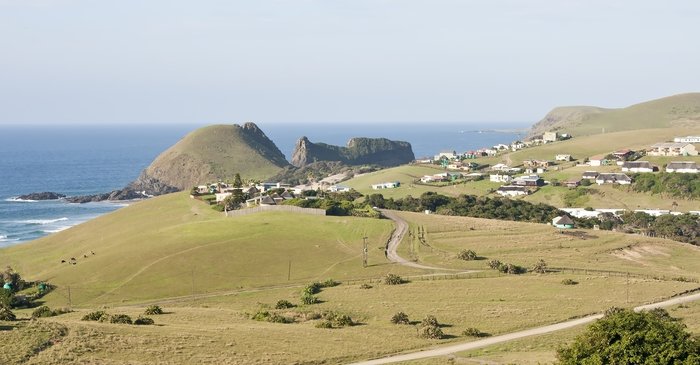
The best way to travel between Johannesburg and the Wild Coast is by plane and car. Depending on where in the Wild Coast region you are traveling to, you can fly to either... read more
Getting between Kruger National Park and the Drakensberg will require a full day of travel whether you opt to fly or drive. Your best travel option is to go by private transfer... read more
Sedgefield, a coastal town situated on the Garden Route, is 288 miles (464 km) from Cape Town. Those hoping to arrive quickly can fly from Cape Town to George. You can then... read more
Oudtshoorn, a town in the Klein Karoo, is 244 miles (393 km) from Stellenbosch. Getting between these two towns may require multiple modes of transportation. The quickest and... read more
Oudtshoorn is 181 miles (292 km) from Jeffreys Bay. The best way to get between these two towns is by car, a 3-4 hour journey that allows travelers to explore the Garden Route... read more
While the best way to get between Cape Town and the Wild Coast is by plane and car—the travel time will vary depending on the region of the coast you’re visiting and which... read more
The most convenient way to travel the 1033 miles (1662 km) between Kruger National Park and the Garden Route is by plane. There is also the option to travel by car although this... read more
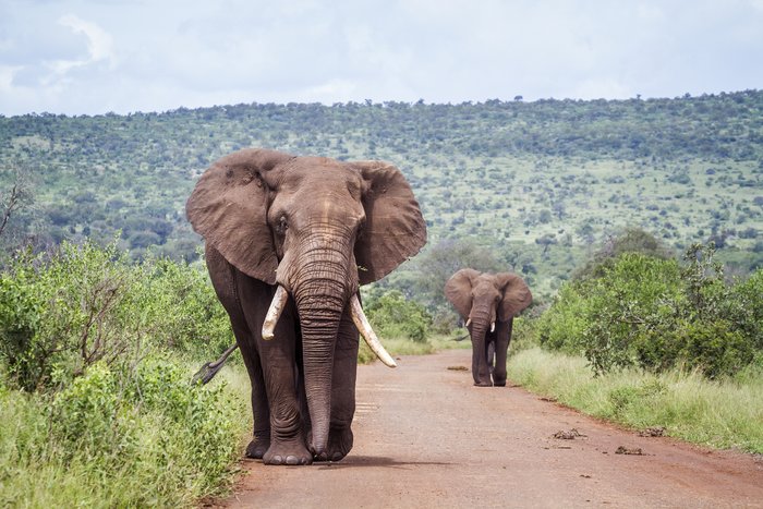
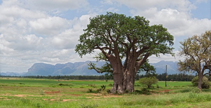
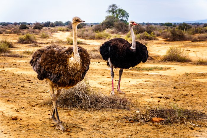
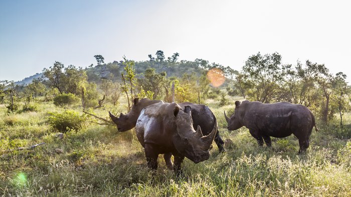
Kruger National Park, situated in northeastern South Africa, is one of the biggest game reserves in Africa and famous for its high density of wild animals. Two airports serve... read more
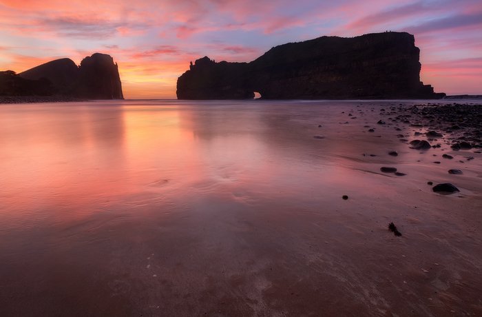
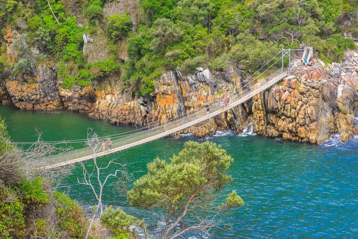
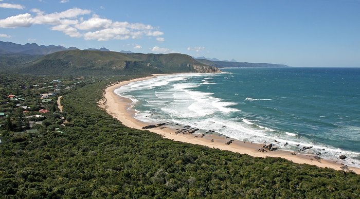
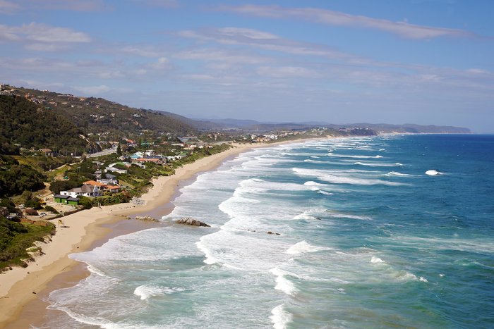
The Garden Route, a 190 mile (300 km) stretch of land is home to some of the best spots in South Africa including Nature’s Valley, Oudtshoorn, Tsitsikamma, Knysna, Plettenberg... read more
The best way to travel the 1150 miles (1851 km) between Cape Town and Hoedspruit is by plane. A direct flight is only two and a half hours while traveling by car will take at... read more
The 83 miles (134 km) between Addo and Jeffreys Bay takes about two hours by car. Traveling by private transfer for the duration of the trip is your best option—particularly... read more
Cape Agulhas, the southernmost tip in Africa, is 124 miles (199 km) from Stellenbosch. Going by car is the best option, and takes around three hours—though if you have time, the... read more
The best way to travel the 204 miles (329 km) between Cape Agulhas and Oudtshoorn is by car. Whether you choose to self-drive or hire a private transfer, you'll wind through... read more
Jeffreys Bay, a coastal surfing town, is 137 miles (227 km) from Sedgefield. The best way to get between these two towns is by rental car or private transfer. Traveling by car... read more
Wilderness, a coastal town on the Garden Route, is 226 miles (364 km) from Addo. The best way to travel this distance is by car. A private transfer is your best option due to... read more
The best way to make the 249 miles (400 km) from Addo to Mossel Bay is by car. Travelers can choose between winding their way through the Garden Route—or traveling inland—with... read more
The quickest way to make the 853-mile (1,373 km) journey from Franschhoek to Johannesburg is a combination of private transfer or rental car and plane. This trip takes three... read more
The quickest way to get between Kruger National Park and the Wild Coast is by plane and car. Travelers can also opt to drive the whole route which will take up to 16 hours of... read more